Fight or flight: How heart rate data is being used to make cycling safer
GCN speaks to Mike Sewell, head of Gresham Smith’s MPATH program that aims to identify danger zones before anyone gets hurt
James Howell-Jones
Junior Writer

© GCN
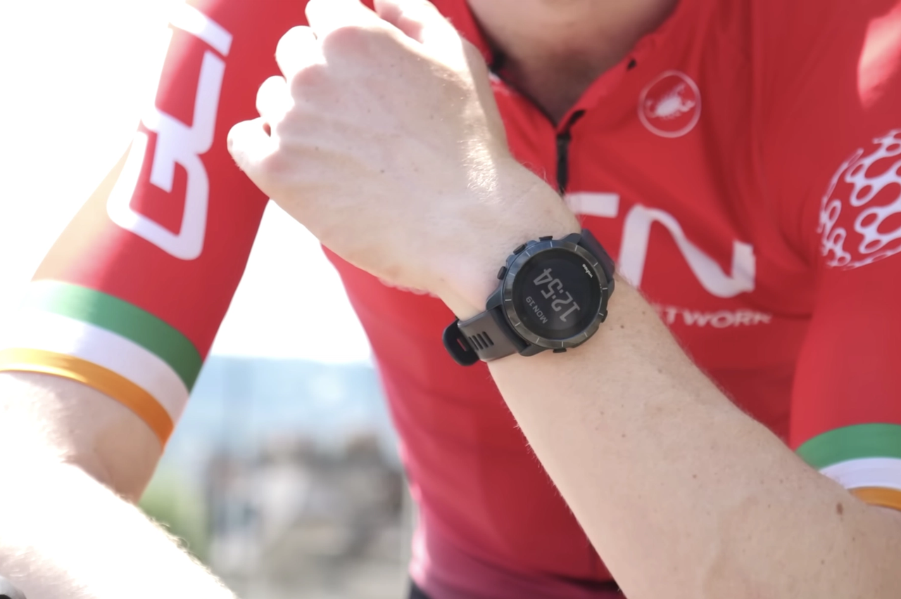
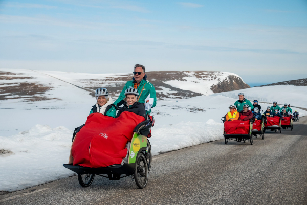
Heart rate data can show where the most stressful places to ride are
Until now, the only way we've been able to prove that a junction, road, or cycle lane is unsafe is by counting the number of incidents. Wouldn’t it be better if we could identify dangerous areas before anybody gets hurt?
That's exactly what MPATH, a new program from design firm Gresham Smith, is intended to do. By collecting heart rate and location data from smart watches, the MPATH team can see which points in the traffic system are causing spikes in cyclists' heart rates and, subsequently, work out which are the most stressful or dangerous places to cycle.
It was launched in May, and deployed in Denver, USA to study cyclists. Six months on, GCN spoke to Mike Sewell, Head of Innovation at Gresham Smith, to hear more about how MPATH works and, crucially, to find out whether the Denver trial has been a success.
© GCN
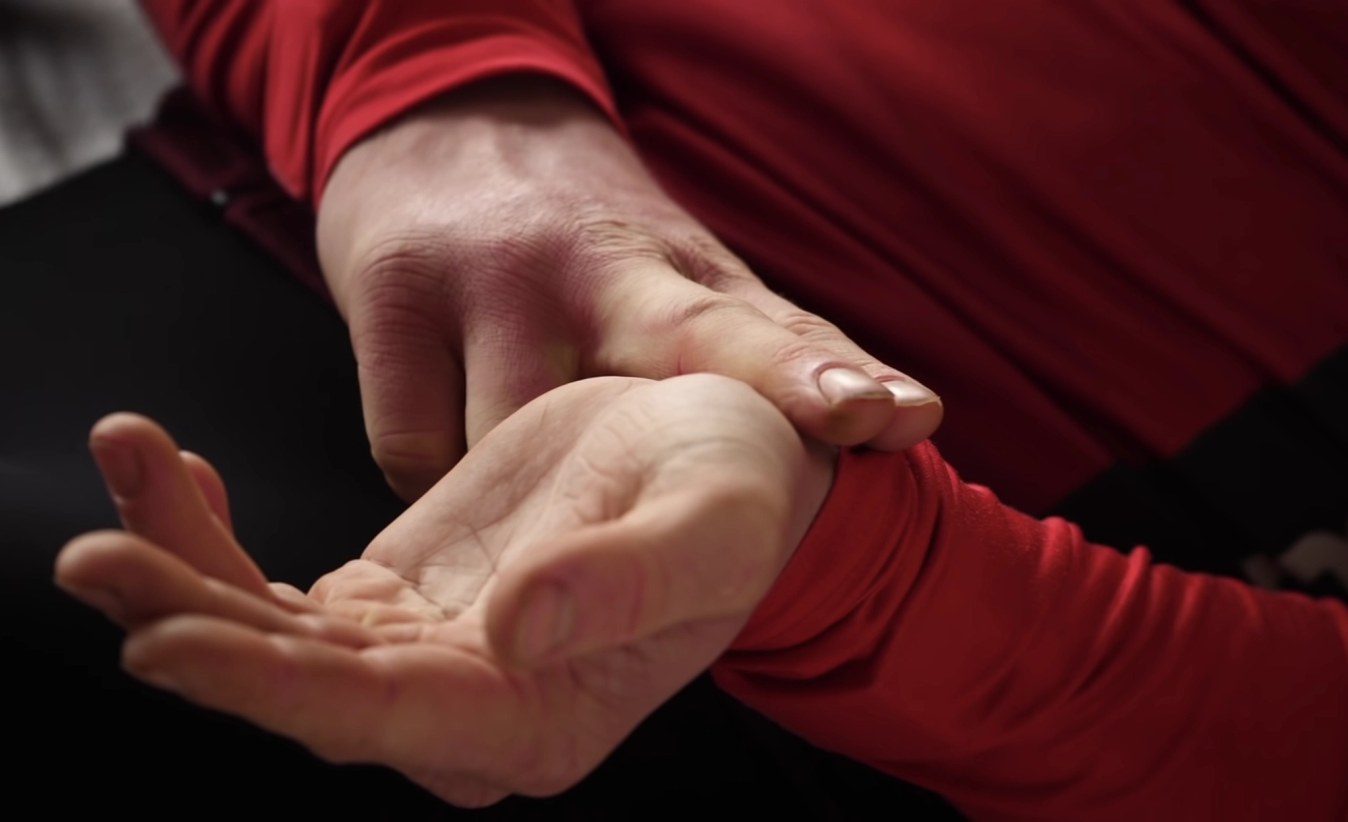
The system relies on heart rate data from smart watches and heart rate monitors
The origins of the idea
Mike Sewell is a keen cyclist. He commutes daily on his bicycle, and rides recreationally, too. It was during a cycling trip in the Netherlands that Sewell first made the link between heart rate and stress. Noticing how well designed the infrastructure was, and the feeling of comfort and ease it gave him as he cycled through the country, he wondered whether his heart rate would reflect that.
“I started looking at my data,” Sewell told GCN, “and I noticed that if you looked at the difference of heart rate between my normal commute Stateside versus almost every single route that I had ridden in the Netherlands, it was just way less jumpy.
“So I was like, ‘there’s got to be something here’, like some kind of additional metric that we might be able to capture that explains what I was feeling.”
Sewell and his team created MPATH’s stress-score, a “novel and patented calculation of stress based on heart rate”. Paired with location data, this new stress-score had the power to show exactly where riders felt most vulnerable.
“And that,” says Sewell, “is how MPATH was born.”
Preventing accident and injury
Currently, we can only assess dangerous areas by counting incidents, but by the time we’ve waited for something to go wrong, it’s already too late. The MPATH system gives us a chance to see where problems might occur before they happen.
As Sewell puts it, “it's fun for just one person to see their data, but it’s really powerful when we start aggregating how everyone feels about an environment”.
If lots of cyclists have the same reaction – specifically, a spike in their heart rate – in the same spot, then, Sewell concludes, “it’s the location causing that stress.”
With that information at hand, planners and architects can set about making places safer. We can, as Sewell puts it, “pinpoint and isolate those problematic locations for an intervention before people show up as a statistic.”
How can you tell apart stress and physical excursion?
The program is looking for spikes in heart rate but, of course, heart rate varies massively depending on how hard we’re pushing on the pedals. Hills, accelerations, and differing fitness levels would all seem, on the face of it, to complicate the data.
However, Sewell says it’s very easy to distinguish stress-related and exercise-related increases in heart rate.
“It's pretty much the same for anyone, no matter if you're really physically fit or if you are out of shape. The slopes are a little different, but they're still gradual, so it looks totally different than fight or flight mechanisms.
“If you're buzzed by a fast moving car, or you're buzzed by a bus, or if your wheel leaves the path and you start to drop off, those trigger a different mechanism.
“It's an autonomic response. It's that fight or flight that you feel if you get into a dangerous situation. That's what the platform is patented over. It's a novel approach to isolating those types of events and aggregating those.”
Is this necessary?
Some would say that a data-driven approach like this is unnecessary – any cyclist in any city knows where the dangerous areas are. The problem is that few cyclists actually voice their concerns about safety.
Sewell puts this down to “inherent distrust” in government; most people don’t believe authorities will ever make the necessary changes, so don’t bother to report things.
“So a lot of vulnerable road users simply go without reporting close calls,” he says. “They don't want to go through the hassle.”
How is it being used in trial city, Denver?

Image by chachpond from Pixabay
The city of Denver, USA, is the first to use MPATH
Sewell thinks MPATH could be used for all kinds of things in the future but, to start with, it’s being used to analyse the safety of cyclists in the city of Denver. Denver, like many counties in the US, is aiming to bring the number of fatalities on public infrastructure to nil.
“It's called Vision Zero,” Sewell explains. “There's no loss of life that is acceptable, we believe.”
To get there, people in Denver have been voluntarily sharing the heart rate data their smart watches collect via the MPATH app.
The exact number of participants is unknown – the data is anonymised for the security of the participants. But Sewell says they're "into the hundreds". More importantly, the MPATH program has picked up almost 800,000 stress activity points across the city.
Those data points are painting a picture of what it’s like to cycle in the county of Denver. It’s the start of a process that will eventually lead to real, physical changes in the way that the city is laid out.
“They're collecting data everywhere, and then they've got a shortlist of projects that they want to analyse," Sewell says.
These projects fall into three categories: areas that have received complaints; areas cyclists are avoiding; and, as Sewell puts it, places where “facilities may not be as conducive to multimodal connectivity as they had hoped”.
For each of these areas, the city is using MPATH to analyse both the areas themselves and the city blocks surrounding them: "They're isolating those corridors as well as like a block outside so we can see the approach to those corridors and what people end up doing as they navigate them.”
Finally, in the most urgent problem areas, the findings from the MPATH data will be used to inform a planning process that will hopefully lead to improvements. Sewell says the city will “use the empathic data on the bleeding edge of planning studies to help go into the planning process”.
Early findings
Formal reports and findings are still in the making, and data is still being collected, but Sewell says there are already some early trends emerging.
In some cases, the data is serving as evidence for safety concerns that cyclists have always known about. In other cases, though, it’s revealing new places as stressful that no one had considered before.

Image by annasiracusa from Pixabay
Shared-use paths like the Cherry Creek trail appear safe, but are in fact stressful
Sewell spoke of one particular example, the Cherry Creek trail, a path for pedestrians and cyclists that runs through the heart of the city. On the face of it, the trail is a great success – it’s used every day by cyclists, scooter riders, pedestrians and joggers.
"The preliminary assumption would point to that being an incredible facility that most people are super comfortable on," Sewell says.
However, the MPATH data shows that the trail is a high-stress environment.
“A lot of people operate in this mid-level to high-level of stress navigating that corridor. And when you couple it with what we're learning from the surveys, people say, ‘yeah, it's beautiful, we love the setting, but it's busy'. Like, it's just as busy as a normal road."
Sewell attributes the stress levels to the speed disparity between different modes of transport. When, at a certain point, the trail splits off into two lanes, separating faster moving bikes and scooters from slower moving walkers and runners, “you see this noticeable decline in stress right at that spot."
Finally, the data is being used to test different types of bike paths in comparable locations. In some instances, the data is revealing that some bike path designs are better than others. Sewell mentioned one comparative analysis between two parallel streets, which showed that “bare bones multimodal separation” – a simple shared path for anything other than a car – produces a higher stress level than a more advanced design “where they’ve invested a little bit more money",.
This is the power of the MPATH system: to perform smaller tests, conclude the findings, then deploy them on a broader scale. Sewell refers to it as “tactical urbanism”, saying, “you can invest a little amount in seeing if it’s going to trend in the right direction before you invest a larger sum of money to truly address the problems.”
Wider applications
For Mike Sewell and the team at Gresham Smith, these first six months have shown the value of their program, for cycling and for so much more. Stress, says Sewell, leads to mistakes, so if we can identify and reduce stress in any situation, we can reduce the likelihood of an accident. For medical professionals, construction workers and the like, this could be life-saving technology.
For the meantime, though, MPATH is solely being used to provide a new, nuanced kind of data that gives authorities the tools they need to make towns and cities safer and more enjoyable for cyclists.
With six months of research in the bag, Sewell seems optimistic that the MPATH program can continue to provide value to the ever-ongoing conversation about the safety of cyclists. Already, the system has been used to back up the claims of cyclists, and to reveal hidden dangers.
It’s worth remembering, though, that for the data to have any effect, town planners have to take notice, and put cycle safety high on their agenda.


Related Content

How to ride in a city: Cycling tips for busy streets
Our advice for feeling confident, safe and in control while riding in an urban environment
Cycling in the USA: The case of Richmond, Virginia
How Richmond, Virginia’s cycling development explains the challenge facing American cycling infrastructure
Powered by kindness: This worldwide movement is making cycling more accessible
Since 2011, Ole Kassow’s idea to make cycling more inclusive has grown from a Copenhagen experiment to a worldwide movement. We spoke to him to hear more

GCN goes gravel racing: Si Richardson takes on cycling's toughest gravel series in the world
How will Si fair when he enters the first round of the LifeTime Grand Prix gravel series at Sea Otter in California?